Associate Faculty, Yardi School of Artificial Intelligence
Indian Institute of Technology Delhi
Dr. Manabendra Saharia is an Associate Professor in the Department of Civil Engineering at the Indian Institute of Technology (IIT) Delhi and an associate faculty in the Yardi School of Artificial Intelligence. Prior to joining IIT Delhi, Dr. Saharia held positions in the hydrology labs of the NASA Goddard Space Flight Center and the National Center for Atmospheric Research (NCAR). He received his PhD in Water Resources Engineering from the University of Oklahoma. At IIT Delhi, his HydroSense research lab focuses on developing physics and data-driven techniques to monitor and mitigate natural hazards such as floods and landslides. He has been recognized for his scientific contributions, having received Young Scientist awards from both the National Academy of Sciences, India (NASI) and the International Society for Energy, Environment and Sustainability (ISEES), as well as the Indian National Geospatial Award (ISRS).
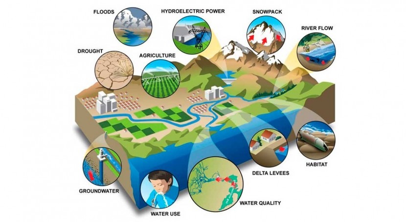
Our mission is to develop technologies for monitoring and mitigating natural hazards, with the aim of reducing their impact on life, the environment, and the economy. For this, we combine physics-based modeling and cutting-edge AI/ML techniques to simulate and investigate the terrestrial water cycle. We develop actionable early warning systems for floods, droughts, and landslides, as well as sustainable water management strategies for the most vulnerable regions of the world.
Hydrologic Modeling and Forecasting
Modeling and forecasting hydrological variables at local to global scales. Focus on supercomputing, AI/ML, and data assimilation for developing early warning systems (EWS).
Geospatial Artificial Intelligence
Graph and Vision-based models for extracting knowledge from structured and unstructured earth observation (EO) data. Scalable solutions for environmental monitoring.
Climate Change Impacts
Assessing the impact of climate change on water resources, natural hazards, and built infrastructure. Developing advanced physical risk assessment and adaptation strategies.
HydroSense Lab Infrastructure
We provide the following computational research facilities for all Bachelors, Masters, PhD, and Postdoctoral Scholars from Day 1 of joining our lab.
CPU computing: Majority of our modeling work happens on the IIT Delhi Supercomputer. All lab members have access to generous supercomputing credits to work on their research without any constraints. These credits are purchased through our research grants.
GPU Workstations: As of Apr 2025, we have 13 high-end Workstations with RTX-4090 NVIDIA GPU for Deep Learning research.
Macs: iMac (1), Mac mini (1), iPad Pro (1), 1 iPad Air (1)
Storage: We have a Network Attached Storage (NAS) with 120 TB storage for backup of critical research data.
Accessories: We provide high-end mechanical keyboards, wide monitors, Logitech MX Master mouse, and other accessories.
Purchase ongoing: GPU Cluster.
Research Datasets Freely Available
As researchers, we stand on the shoulders of the community. We are ardent supporters of open-science and release our datasets and code into public domain, except when restricted by source. No co-authorship is expected for use of any of our published data. You are welcome to share your research by E-mail. We love hearing about interesting applications!